 Escape Climate
Starlink Satellites Unveil Secrets of Earth's Upper Atmosphere
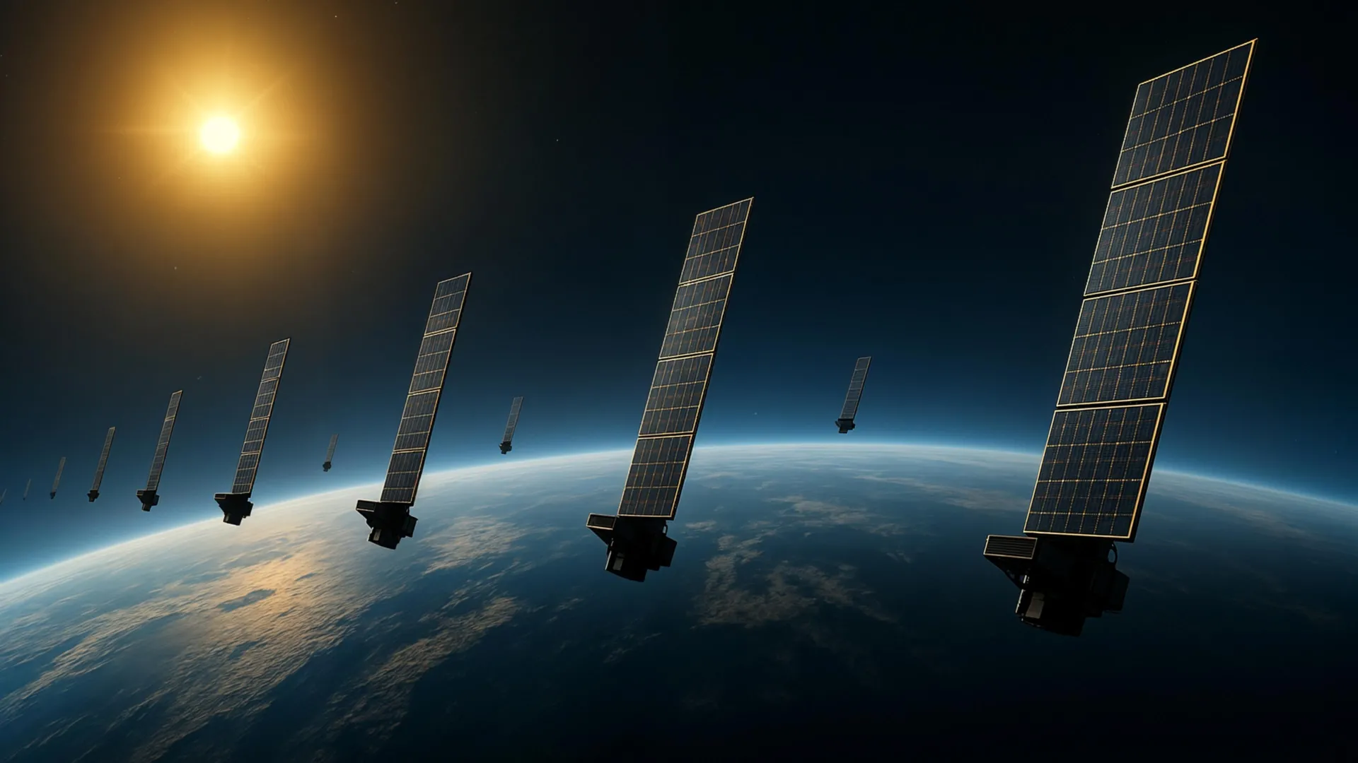
Researchers have used Starlink satellites to map atmospheric density 500 kilometers above Earth.
The upper atmosphere, a challenging region for observation, now reveals its secrets through the orbital data from approximately 1,200 Starlink satellites. This method could significantly enhance satellite tracking and mitigate collision risks in increasingly congested orbits.
This new technique allows scientists to better understand changes in atmospheric density at high altitudes, crucial for safer space operations.
The long-term vulnerability lies in the growing congestion of Earth's orbit; this mapping can help prevent future collisions but doesn't address the root cause of overcrowding.
Can local infrastructure withstand future compounding shocks?
While this innovation improves space safety, it does not solve the problem of orbital congestion. Continued monitoring and regulation are needed to ensure long-term sustainability in Earth's orbit.
The outlook remains cautious; improvements in tracking do not eliminate the risks posed by overcrowded orbits.