 Escape Climate
Sentinel-3C Satellite Unveils Earth's Stunning Transformations
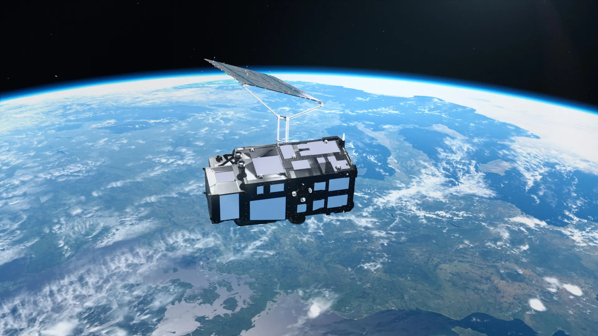
Europe's Sentinel-3C satellite has captured stunning images of the Earth just two weeks after its launch.
The satellite reveals detailed views of the snowy Alps, frozen Arctic islands, and vibrant Caribbean waters. Its initial data also promises to track rising sea levels and melting ice sheets, providing critical insights into global environmental shifts.
These images offer a clear view of how our planet is changing, from snow-covered mountains to thawing polar regions.
The long-term vulnerability lies in the continuous monitoring of these changes, which could indicate severe ecological degradation if trends continue.
What is the long-term climate outlook for this region?
Sentinel-3C's data will be crucial for understanding and predicting future environmental shifts. It highlights the urgent need to address rising sea levels and melting ice, which pose significant risks to coastal communities and ecosystems.
The outlook is concerning without substantial action.