 Escape Climate
Satellite Tool Tracks Bushfire Risk to Aid Community Preparedness
A new satellite-based tool monitors vegetation moisture levels across Australia.
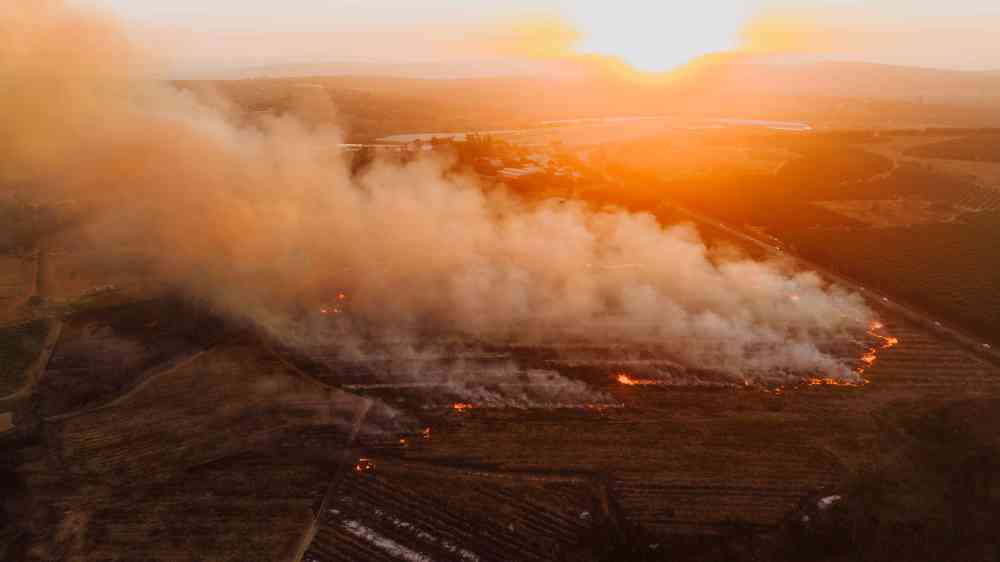
The data-driven approach offers real-time insights into bushfire risks, enabling local authorities and communities to make informed decisions about monitoring and preparedness. By tracking changes in vegetation moisture, the system can also guide prescribed burning efforts to mitigate potential wildfire hazards.
Communities can use this information to better prepare for the upcoming bushfire season by understanding where risks are highest.
Long-term, this tool could help reduce the impact of wildfires on communities and ecosystems by allowing more proactive management strategies.
What is the long-term climate outlook for this region?
The satellite data not only aids in immediate risk assessment but also contributes to understanding longer-term trends. This can inform broader strategies for managing bushfire risks, including land use planning and infrastructure development.
Understanding these trends is crucial for effective long-term management.